Explore the World with Precision
Advanced Geospatial Mapping Solutions
Unlock the potential of your projects with cutting-edge geospatial mapping services tailored to meet your specific needs.
Our Geospatial Mapping Services
At Map Geek, we offer a comprehensive range of geospatial mapping services designed to provide accurate and actionable insights for various industries.
Drone Inspections
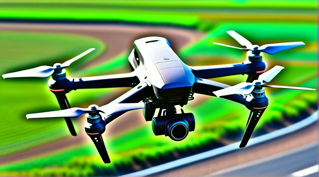
Utilize our state-of-the-art drones for detailed inspections, perfect for insurance assessments, construction monitoring, and thermal leak detection.
Aerial Cinematography
Capture stunning aerial footage with our expert cinematography services, ideal for marketing, film production, and event coverage.
Photogrammetry
Generate precise 3D models and maps using our advanced photogrammetry techniques, suitable for surveying and land development projects.
Multispectral Analysis
Analyze vegetation health and land use with our multispectral imaging, providing critical data for agriculture and environmental studies.
Innovative Mapping Technology
Enhancing Mapping with Cutting-Edge Tools
Map Geek employs the latest technology in geospatial mapping, including high-resolution drones, advanced GIS software, and multispectral cameras. Our tools enable us to deliver precise data and insights, ensuring the success of your projects.

Comprehensive Mapping Solutions
Diverse Mapping Projects

Client
Date
My Role
Project Overview
What Our Clients Say

“Map Geek’s services have revolutionized our construction monitoring process. Their detailed maps and timely updates keep us on track and informed.”
John D., Construction Manager

“Thanks to Map Geek, our solar panel inspections are now faster and more accurate than ever. Their expertise is unmatched.”
Sarah L., Renewable Energy Consultant

Get Started with Map Geek Today
Contact us to learn more about how our geospatial mapping services can benefit your projects. Schedule a consultation with our experts and discover the Map Geek advantage.