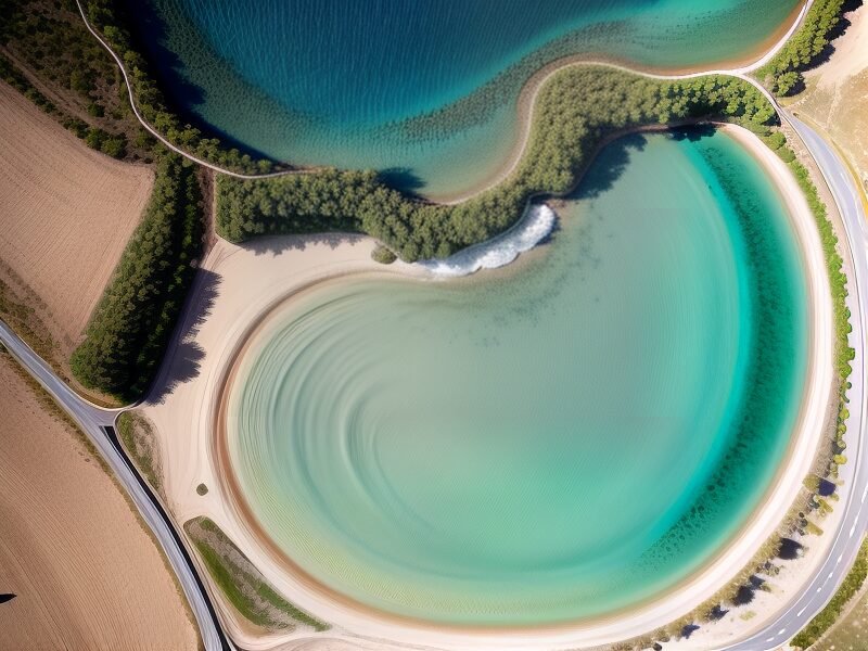
Explore New Dimensions with Map Geek
Revolutionizing Drone Technology for a Better Tomorrow
Discover how cutting-edge drone technology can transform your projects with precision and efficiency.
Our Mission and Values

Our Expertise
Drone Inspections
Utilize our state-of-the-art drone inspections for comprehensive assessments in construction, insurance claims, and solar panel evaluations.
Cinematography
Capture breathtaking aerial footage with our expert cinematography services, tailored for film, advertising, and special events.
Photogrammetry
Transform visual data into detailed 3D models and maps with our advanced photogrammetry solutions, perfect for surveying and analysis.
Explore Our Cutting-Edge Services
Why Choose Map Geek?

Unmatched Precision
Our drone technology ensures pinpoint accuracy in every project, providing reliable data for informed decision-making.
Efficient Operations
Streamline your workflow with our fast and efficient service, minimizing downtime and maximizing productivity.
Advanced Technology
Utilizing the latest in drone and mapping technology, we deliver high-quality results tailored to your needs.
Comprehensive Solutions
From inspections to geospatial mapping, our all-in-one service covers a wide range of applications.
What Our Clients Say
Map Geek’s drone inspections have revolutionized our project management, saving us time and resources.
The accuracy of their data has made claim assessments faster and more reliable than ever before.
Their solar panel inspections are thorough and efficient, helping us maintain optimal performance.
Thanks to Map Geek, we can monitor construction progress with ease and confidence.
The multispectral analysis provided invaluable insights for our environmental impact studies.
Their cinematography services brought our vision to life with stunning aerial shots.
Our Work in Action
Project Highlights
Get in Touch for Expert Mapping Solutions
Ready to elevate your projects with cutting-edge drone technology and geospatial expertise? Reach out to Map Geek for a personalized consultation and discover how our services can transform your vision into reality. Whether it’s detailed inspections or stunning cinematography, we’re here to help. Contact us now to learn more!


